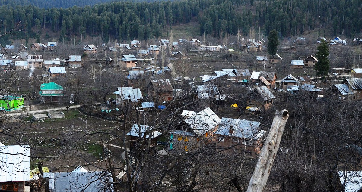
Srinagar, Feb 09: Forests cover nearly 48 per cent of the total geographical area of Jammu and Kashmir, with districts like Kupwara, Baramulla and Doda accounting for the largest share of forest land, according to official data released by the Forest, Environment and Ecology Department.
As per the district-wise forest cover figures for 2024–25, Jammu and Kashmir has a total geographical area of 42,241 square kilometres, out of which 20,194 square kilometres are under forest cover, translating to 47.81 per cent of the total area.
Doda district accounts for the highest forest area in absolute terms, with 5,555 square kilometres under forests. This constitutes 27.51 per cent of the total forest area of the Union Territory, while forests cover 47.52 per cent of Doda’s geographical area.
Baramulla follows with 2,690 square kilometres of forest land, making up 13.32 per cent of the total forest area and 58.63 per cent of the district’s geographical area. Udhampur has 2,343 square kilometres of forests, accounting for 11.60 per cent of the total forest area and 51.49 per cent of its geographical area.
Kupwara district has one of the highest forest densities, with forests covering 71.58 per cent of its geographical area. The district has 1,703 square kilometres of forest land, contributing 8.43 per cent to the overall forest area of Jammu and Kashmir.
In south Kashmir, Anantnag has 2,068 square kilometres under forests, which is 10.24 per cent of the total forest area and 51.91 per cent of the district’s geographical area. Pulwama, with a smaller geographical area, has 810 square kilometres of forests, covering 57.94 per cent of the district.
In the Jammu region, Rajouri has 1,267 square kilometres of forest area, accounting for 48.17 per cent of its geographical area, while Poonch has 951 square kilometres, covering 56.81 per cent. Kathua and Jammu districts have forest cover of 991 square kilometres and 959 square kilometres, respectively, with forests covering 37.38 per cent of Kathua’s area and 30.97 per cent of Jammu district.
Srinagar district has the lowest forest cover, with 380 square kilometres under forests, which is 1.88 per cent of the total forest area and 17.06 per cent of its geographical area. Budgam has 477 square kilometres of forest land, covering 34.79 per cent of the district.
The data pertains to areas on this side of the Line of Control and excludes regions under illegal occupation of China and Pakistan, the department said—(KNO)


